

I-17
33.8523336,
-112.143863
How Mountain Weather Impacts I-17 Travel Advisories
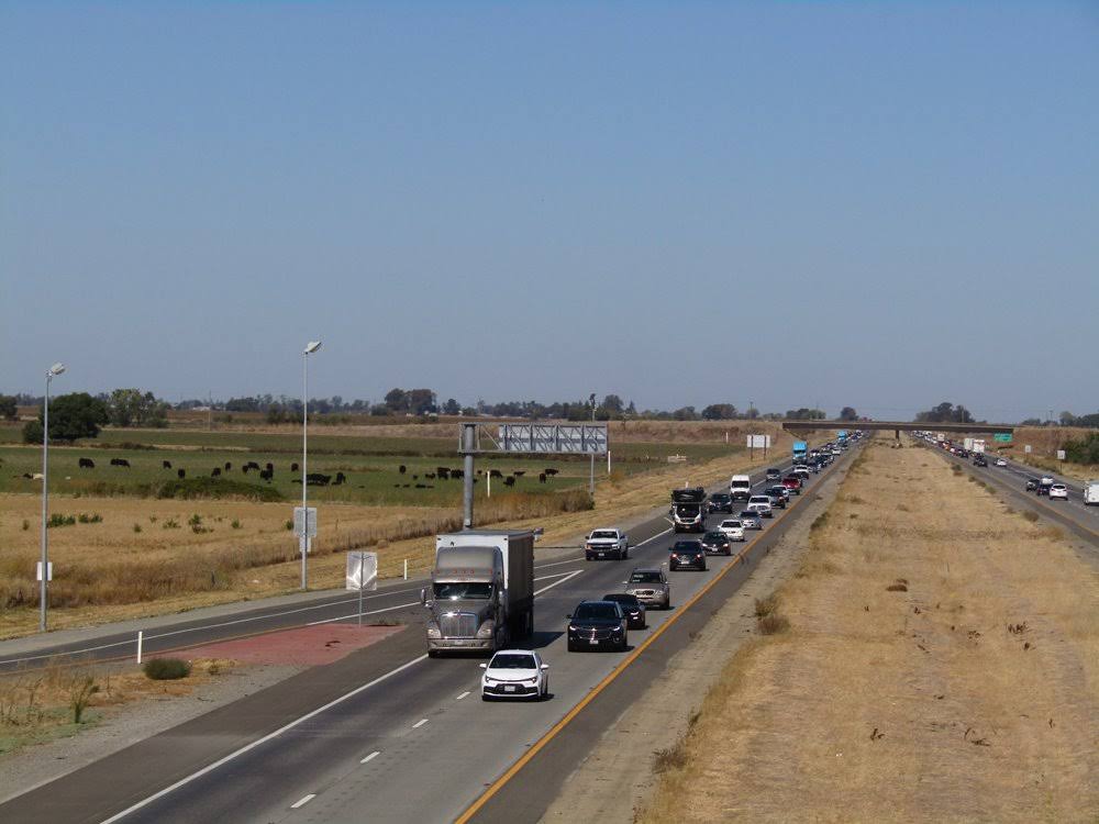

Traffic and travel advisories on Interstate 17 come from multiple coordinated sources. ADOT monitoring systems, law enforcement observations, weather services, news outlets, and navigation platforms all contribute information. Each source serves a different function and updates on a different timeline. Mountain weather along I-17, especially between Phoenix and Flagstaff, creates fast-changing conditions that explain why advisories appear, change, or clear with little notice.
This article explains how mountain weather influences I-17 travel advisories, how conditions move from observation to public alerts, and why drivers often see different information depending on the source they check.
Why Mountain Weather Creates Unique Advisory Challenges on I-17?
Mountain weather along I-17 changes faster and varies more sharply than conditions in lower desert areas. As drivers move north from Phoenix, elevation increases steadily, leading to colder temperatures, stronger winds, and higher precipitation potential. These changes can occur within short distances, especially near Black Canyon City, Sunset Point, and the approach to Flagstaff.
Because conditions vary by elevation, agencies cannot issue one advisory that applies equally to the entire corridor. Clear pavement south of Camp Verde may exist at the same time as snow or ice near Flagstaff. Travel advisories must reflect these localized conditions, which often confuse drivers who expect uniform reporting across the route.
Mountain terrain also amplifies weather effects. Wind accelerates through passes and ridgelines, while shaded curves hold ice longer than open stretches. These factors require frequent reassessment. As a result, I-17 weather advisories may update multiple times during a single weather event.
How ADOT Monitors Weather Conditions Along the I-17 Corridor
ADOT monitors mountain weather on I-17 through a combination of technology and human observation. Roadway sensors track pavement temperature, moisture, and friction. Traffic cameras provide visual confirmation of snow accumulation, fog, or blowing debris. Maintenance crews and law enforcement officers report conditions directly from the roadway.
ADOT issues I-17 weather advisories only after staff confirm conditions that affect travel safety or roadway operations. This approach prioritizes accuracy over speed. Advisories focus on hazards that justify warnings, restrictions, or operational changes rather than general weather forecasts.
ADOT road condition updates often emphasize what drivers need to know to make travel decisions. These include reduced traction, hazardous winds, limited visibility, or active maintenance activity. Details about weather intensity or duration usually remain limited, since ADOT reports focus on roadway impact rather than meteorological analysis.
Because confirmation takes time, ADOT advisories may appear later than alerts on navigation apps. This delay reflects verification rather than missing information.
How Snow and Ice Drive I-17 Weather Advisories
Snow and ice remain the most disruptive mountain weather factors along I-17. Even small accumulations can reduce traction at higher elevations, especially during overnight and early morning hours. Shaded curves and north-facing slopes often remain icy after precipitation ends.
ADOT issues snow-related advisories when crews confirm accumulation or when pavement conditions create an elevated risk. These alerts may include speed reductions, traction warnings, or temporary closures if conditions deteriorate. Advisories stay active until crews verify that pavement conditions improve.
Snow events also create secondary effects that influence travel advisories. Snowplows, sanding operations, and shoulder storage reduce available roadway space. Drivers may encounter slow-moving maintenance vehicles, which further affects traffic flow.
Advisories may persist even when skies clear because road surface temperature matters more than air temperature. Meltwater can refreeze quickly at elevation, especially after sunset. ADOT clears alerts only after crews confirm stable conditions across affected segments.
How Wind and Visibility Shape I-17 Travel Warnings
Wind plays a major role in Arizona mountain travel warnings along I-17. Strong crosswinds affect exposed ridgelines and elevated sections, creating risks for high-profile vehicles such as trucks, RVs, and trailers. Wind can also blow debris into travel lanes or reduce vehicle stability during lane changes.
Visibility issues often accompany wind events. Blowing dust, snow, or fog can reduce sight distance without warning. These conditions may appear suddenly and clear just as quickly, forcing frequent advisory updates.
ADOT issues wind-related advisories when sustained or gusting winds create travel hazards. These alerts often apply only to specific segments, which explains why drivers may see warnings that seem limited in scope. Wind conditions vary significantly by elevation and terrain, even within a few miles.
Because wind fluctuates rapidly, advisories may change often. A brief reduction in gusts can lead to cleared alerts, followed by renewed warnings if conditions return.
How Weather Information Moves From Observation to Public Advisories
Weather-related advisories begin with observation rather than prediction. Sensors detect changes, cameras provide visual confirmation, and field personnel report firsthand conditions. ADOT staff review this information before posting official alerts.
Once verified, advisories appear on official platforms such as Arizona 511 and ADOT traffic feeds. News outlets and navigation apps may update earlier based on indirect indicators like sudden slowdowns or forecast data. This sequence explains why drivers sometimes see information first on apps and later on official systems.
Each platform updates according to its purpose. ADOT confirms conditions that affect roadway operations. Navigation apps reflect driver behavior. News outlets interpret available information for public awareness. These different timelines create temporary inconsistencies that resolve as conditions stabilize.
Drivers often interpret these differences as conflicting reports. In practice, they reflect the flow of information from detection to confirmation.
Why I-17 Weather Advisories Differ Across Platforms
I-17 weather advisories look different because each source answers a different question. ADOT answers whether conditions affect safe travel or require operational changes. Navigation apps answer whether traffic speeds drop. News outlets answer whether conditions affect the public.
A snow event may first appear as slowed traffic on a map. Later, ADOT may issue a formal advisory after crews confirm pavement conditions. News coverage may follow once the impact becomes widespread. Each update serves a specific audience need.
Navigation platforms may also remove alerts quickly when speeds recover, even if hazards remain. Official advisories may stay active longer because crews must confirm full improvement. Understanding this difference helps drivers evaluate which information reflects verified conditions.
Checking multiple sources reduces confusion and provides context for why alerts change.
How Flagstaff–Phoenix Weather Differences Affect I-17 Travel Advisories
The I-17 corridor spans multiple climate zones. Phoenix-area driving reflects desert conditions, while Flagstaff-area travel reflects mountain weather. This contrast explains why advisories often apply only to northern segments.
Drivers who start trips in clear weather may encounter snow or wind without warning if they rely only on local conditions. ADOT advisories specify locations to address this issue, but drivers must read alerts carefully to understand affected areas.
Segment-based reporting remains essential for safety. Issuing corridor-wide warnings would reduce clarity and accuracy. Instead, ADOT focuses on pinpointing where conditions change.
Understanding this structure helps drivers plan stops, adjust timing, or delay travel when advisories affect higher elevations.
How Drivers Should Interpret Mountain Weather Advisories on I-17
Drivers should treat I-17 weather advisories as confirmations of current roadway conditions. These alerts signal verified hazards rather than predictions. They indicate when conditions affect traction, visibility, or vehicle control.
Relying on one source rarely provides a full picture. Official advisories confirm safety conditions. Navigation apps show immediate traffic behavior. Weather forecasts explain what may develop next. Using these sources together improves decision-making.
Mountain weather along I-17 creates rapid and localized changes that directly shape travel advisories. ADOT monitoring systems, field verification, and coordination with public safety agencies determine when I-17 weather advisories appear and clear. Differences across platforms reflect purpose, timing, and confirmation standards rather than inconsistency.
Drivers who understand how mountain weather affects reporting can better interpret alerts and reduce uncertainty. Checking multiple verified sources remains the most reliable way to understand current travel conditions along the I-17 corridor.
For more information about I-17 travel advisories, get in touch with us by filling out the contact form on our website.